
WildFireHotspots
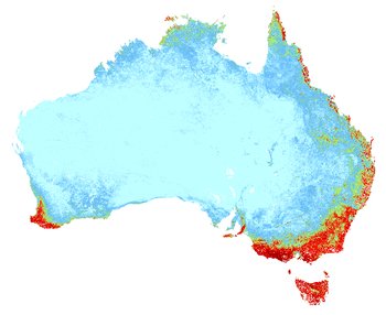
This hack combines Sentinel Hotspot data with Vegetation data to provide a live visualisation tool to quickly identify areas of critical potential for devastating bushfires.
Data aquisition:
Satellite telemetry data is received at the Geoscience Australia data acquisition facility ground station at Alice Springs and processed to produce a level 0 (MODIS), NOAA HDF file (AVHRR) and Raw Data Record (VIIRS) datasets. These datasets are then transferred via a network link to Canberra for further processing.